Apple Drones Make Better Maps!
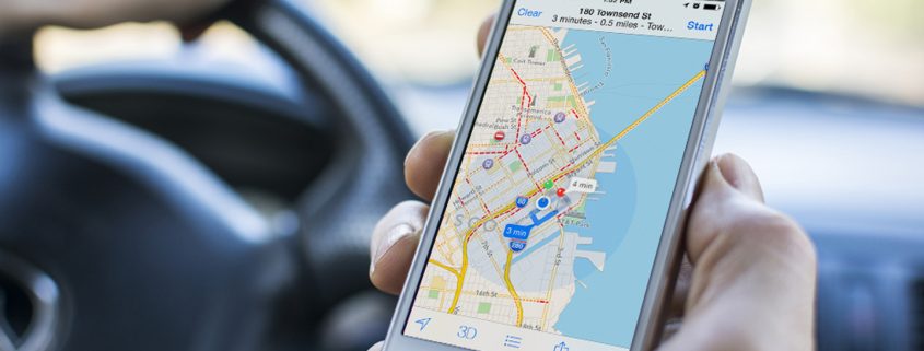
According to Bloomberg, Apple are making their maps service better by creating a drone team that uses drones to better map your area (alongside the regular camera-equipped minivans) It is rumoured that the company plan to use drones from big players such as DJI and Aibotix to keep the maps up to date with construction of new roads and other information such as better traffic information or roadworks, to show that they mean business Apple hired someone away from Amazon’s highly publicised Amazon Prime Air service to run the team.
Alongside this, Apple is going even deeper into navigation, via indoors, they recently purchased an indoor company called Indoor.io and back in 2013 purchased WiFiSlam in 2013. Apple even quietly released an app called Indoor Survey which let you figure out your location from an indoor venue, even if it wasn’t mapped.
Although Google Maps is used far more widely than it’s own Map service, Apple are investing heavily in it, alongside using drones to improve it’s service, the technology company recently opened up its service to developers and incorporated third party extensions from services such as Uber and Open table directly into iOS10, which, reportedly, is the reason as to why Maps is now used three times as much as Google Maps on iOS.
To listen to the guys chatting about this please click here!


